
Malolotja Nature Reserve Guide
Highland hiking, waterfalls, southern bald ibises and wildflower meadows: how to explore Eswatini’s mountain wilderness.
Editorial review 12 October 2026 • Reconfirm official visitor accessMalolotja Nature Reserve at a glance
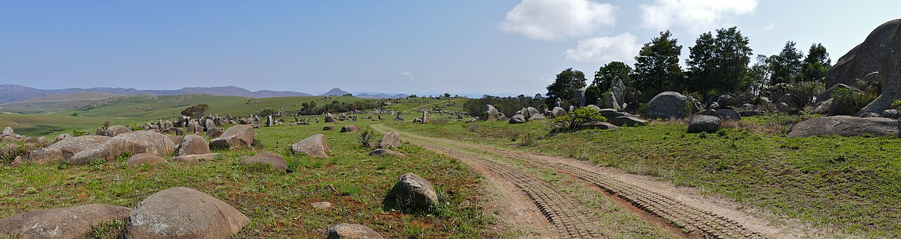
Malolotja Nature Reserve is a mountainous protected area in northwestern Eswatini, known for grassland hiking, the Malolotja River valley, waterfalls, highland wildflowers and specialist birdlife. Managed by the Eswatini National Trust Commission (ENTC), it is a walking and nature destination rather than a Big Five drive-through safari park.
Quick answers
When is the best time to visit Malolotja?
May through September brings generally cooler, drier hiking conditions; mornings can be cold and misty. Summer rainfall brings greener slopes and wildflowers, but wet or slippery footpaths, storm risks and low visibility are important. Trails may be closed after severe weather.
Dry season
Good for longer walks and ridge views. Start with layered clothing and check the forecast.
Rainier season
Greener vegetation and seasonal flowers, with more frequent rain and shifting trail conditions.
Malolotja entrance fees, opening hours and permits
ENTC—not Big Game Parks—manages Malolotja. Current entry, camping, guided hike or other activity prices should be confirmed directly through the authority because not all online tariffs identify a current effective date. Do not rely on older brochures for exact costs.
How to get to Malolotja Nature Reserve
Malolotja is reached from the northwestern Eswatini highlands near the Piggs Peak road corridor, north of Mbabane. The visitor centre and official entrance should be located using ENTC’s current directions and roadside signage. The map below shows broad orientation and does not supply a surveyed gate point.
From Mbabane
Travel north towards the Piggs Peak corridor, watching for the official reserve entrance signs and weather conditions on upland roads.
From Piggs Peak
Confirm your approach with ENTC: reserve paths and tracks are not interchangeable with public vehicle roads.
A vehicle with normal road clearance may suit the main road in good conditions, but do not make assumptions about internal tracks or heavy-rain access.
Malolotja map: viewpoints, waterfall area and visitor access
The Leaflet map uses OpenStreetMap and approximate orientation points for the Malolotja landscape, river valley, viewing areas and arrival towns. No exact hiking line is drawn unless it has been surveyed and verified. Use the official park trail map for navigation.
Illustrative planning sequence only, not turn-by-turn navigation or a guarantee of open access. © OpenStreetMap contributors.
How to plan a Malolotja walking day
Morning check-in
Obtain a current map, confirm which trails are open, weather alerts and your required return time with reserve staff.
Start with a short viewpoint walk
Choose a trail suitable for your abilities, beginning with accessible landscapes and birdwatching opportunities.
Longer trail option
Only attempt remote routes with appropriate fitness, daylight, water and any guide or permit that ENTC requires.
Return before dusk
Mountain fog and thunderstorms can change conditions rapidly. Carry layers, water, offline orientation and emergency contacts.
Malolotja mammal field guide: highland wildlife
Blesbok and other grazers inhabit the broader grassy highland ecology, while many small mammals and predators are shy. These 14 field identification profiles cover Malolotja and compatible regional habitats, not a guaranteed checklist or live sighting list.
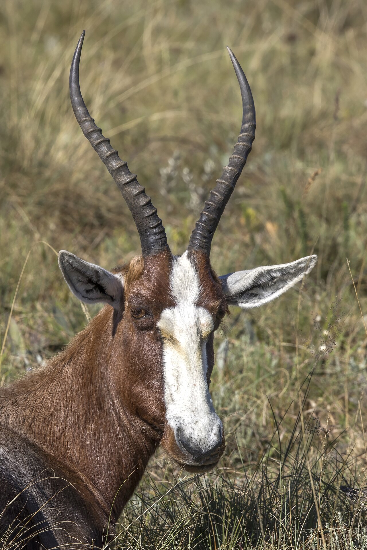 BlesbokDamaliscus pygargus phillipsi
Mountain grassland grazers
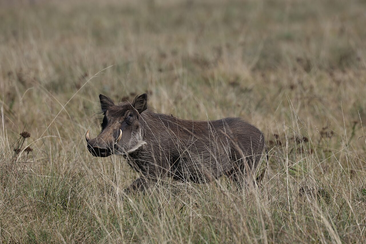 Common warthogPhacochoerus africanus
Open grassland foraging
 Plains zebraEquus quagga
Grassland grazing animal
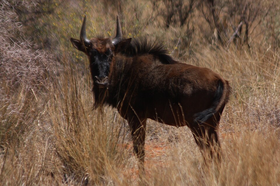 Blue wildebeestConnochaetes taurinus
Large herds in open habitats
Rocks and cliffs; watch from a distance
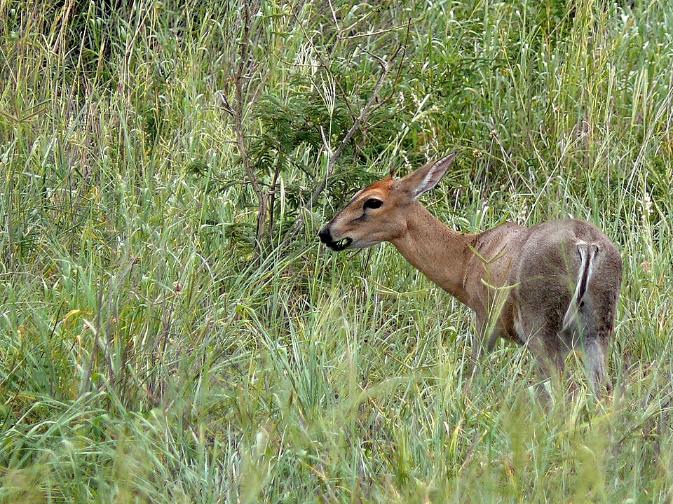 Common duikerSylvicapra grimmia
Small antelope in bushy habitats
Upland grassland antelope
Steep grassland slopes
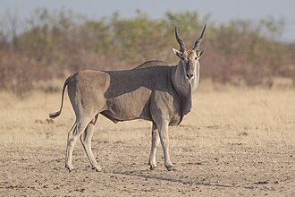 ElandTaurotragus oryx
Very large antelope in open grassland
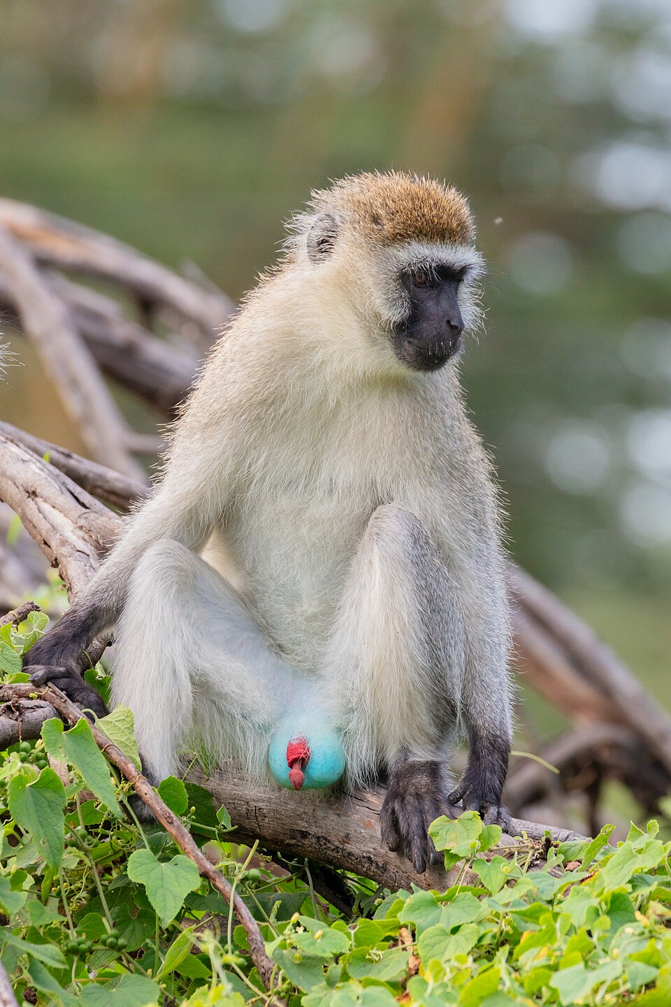 Vervet monkeyChlorocebus pygerythrus
Woodland near water
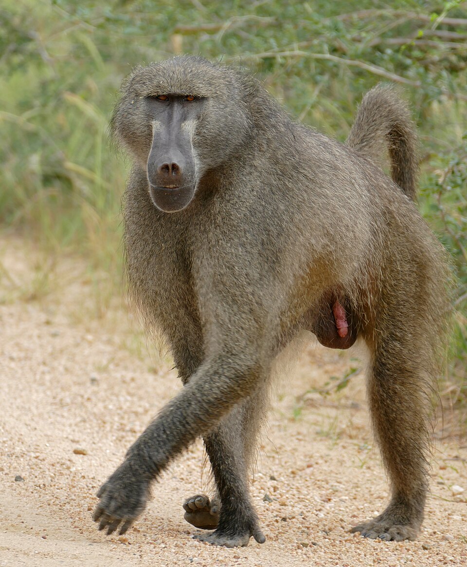 Chacma baboonPapio ursinus
Rocky and wooded hills
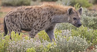 Spotted hyenaCrocuta crocuta
Elusive; do not expect easy sightings
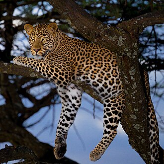 LeopardPanthera pardus
Elusive predator of rocky and forested habitat
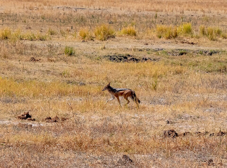 Black-backed jackalLupulella mesomelas
Open grass and scrub edges
Birds of Malolotja: grassland and escarpment species
Malolotja’s high-elevation grassland and cliffs support specialised birdwatching. Southern bald ibis, buff-streaked chat and Cape longclaw are useful identification targets. Sightings, seasonality and reserve-wide abundance differ.
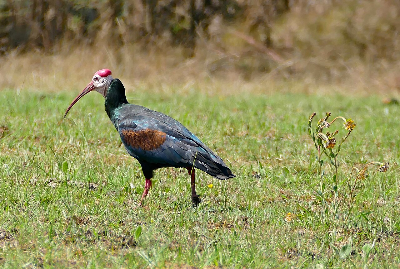 Southern bald ibisGeronticus calvus
Rocky cliffs and grassland feeding areas
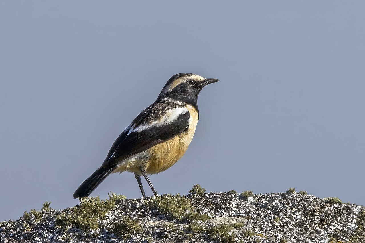 Buff-streaked chatCampicoloides bifasciatus
Grassland specialist on rocks
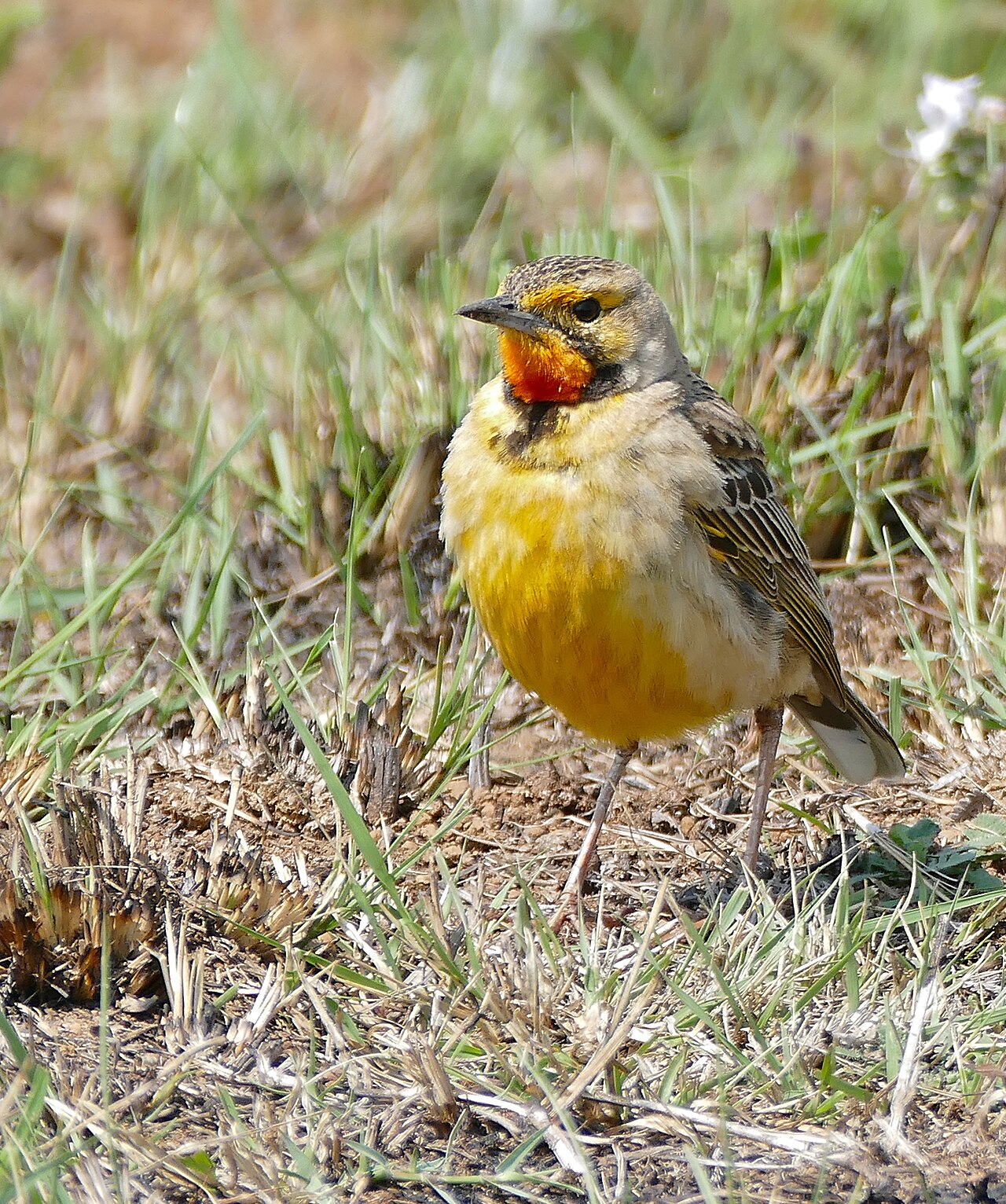 Cape longclawMacronyx capensis
Open upland grassland
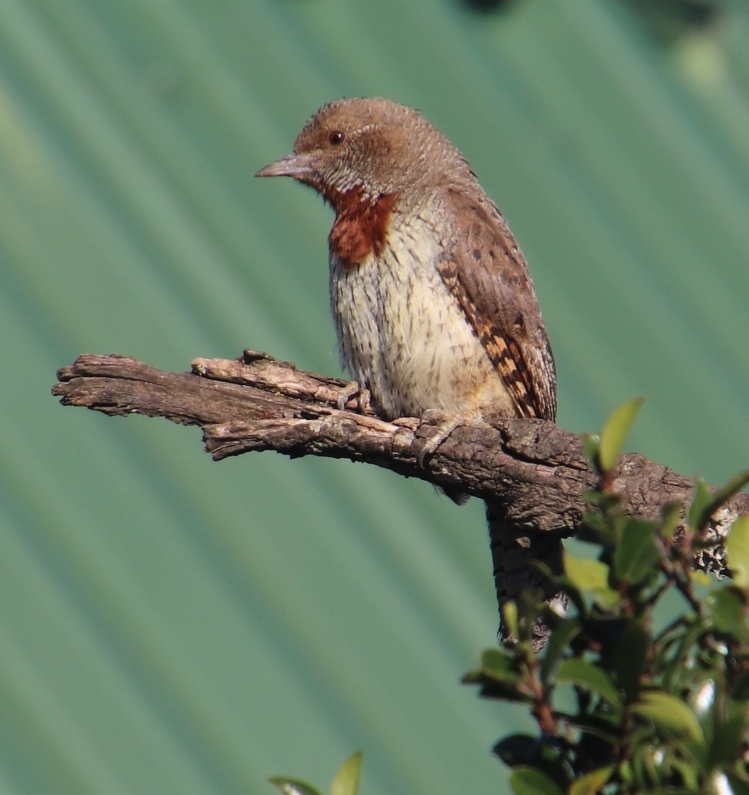 Red-throated wryneckJynx ruficollis
Woodland edges and open trees
Rare and threatened summer grassland visitor
Wet grassland and marsh in suitable habitat
Open grassland; easily disturbed
Tree perches near valleys
Upland cliffs and slopes
Soaring above escarpments
Flowering plants and upland edges
Grass stems in open country
Flora: wildflowers, upland trees, reeds and grasses
Malolotja is valued for diverse upland plant communities. The following are illustrative regional identifications: plants change with elevation, season and soil type. Do not collect protected plants or assume every species is present along every trail.
Trees and shrubs
Rocky highland woodland
Rocky slopes and forest margins
Streamside and wetland habitat
Moister sheltered slopes
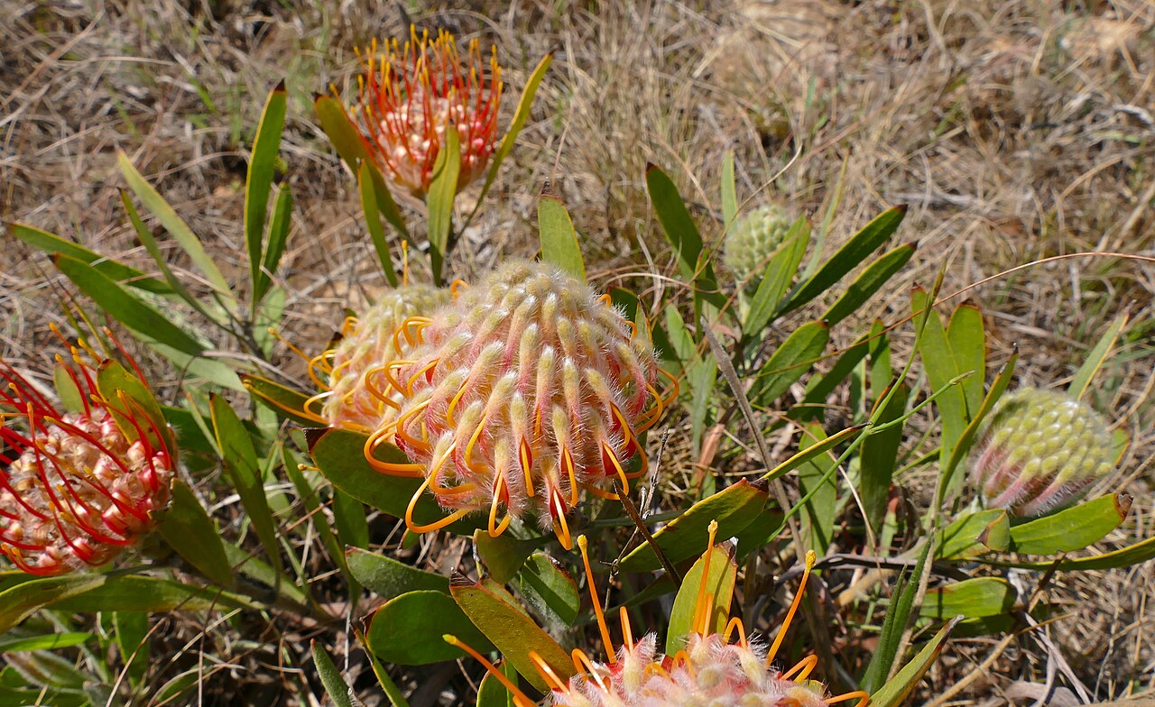 Pincushion proteaLeucospermum gerrardii
Flowering upland plant
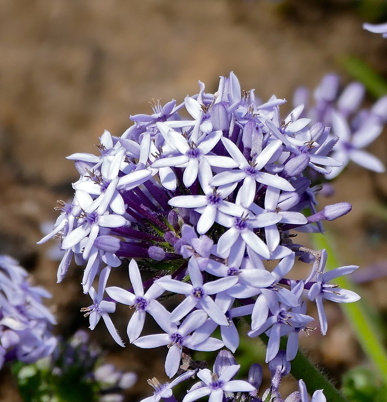 Wild verbenaPentanisia prunelloides
Colourful indigenous ground flora
Flowers and ground-layer species
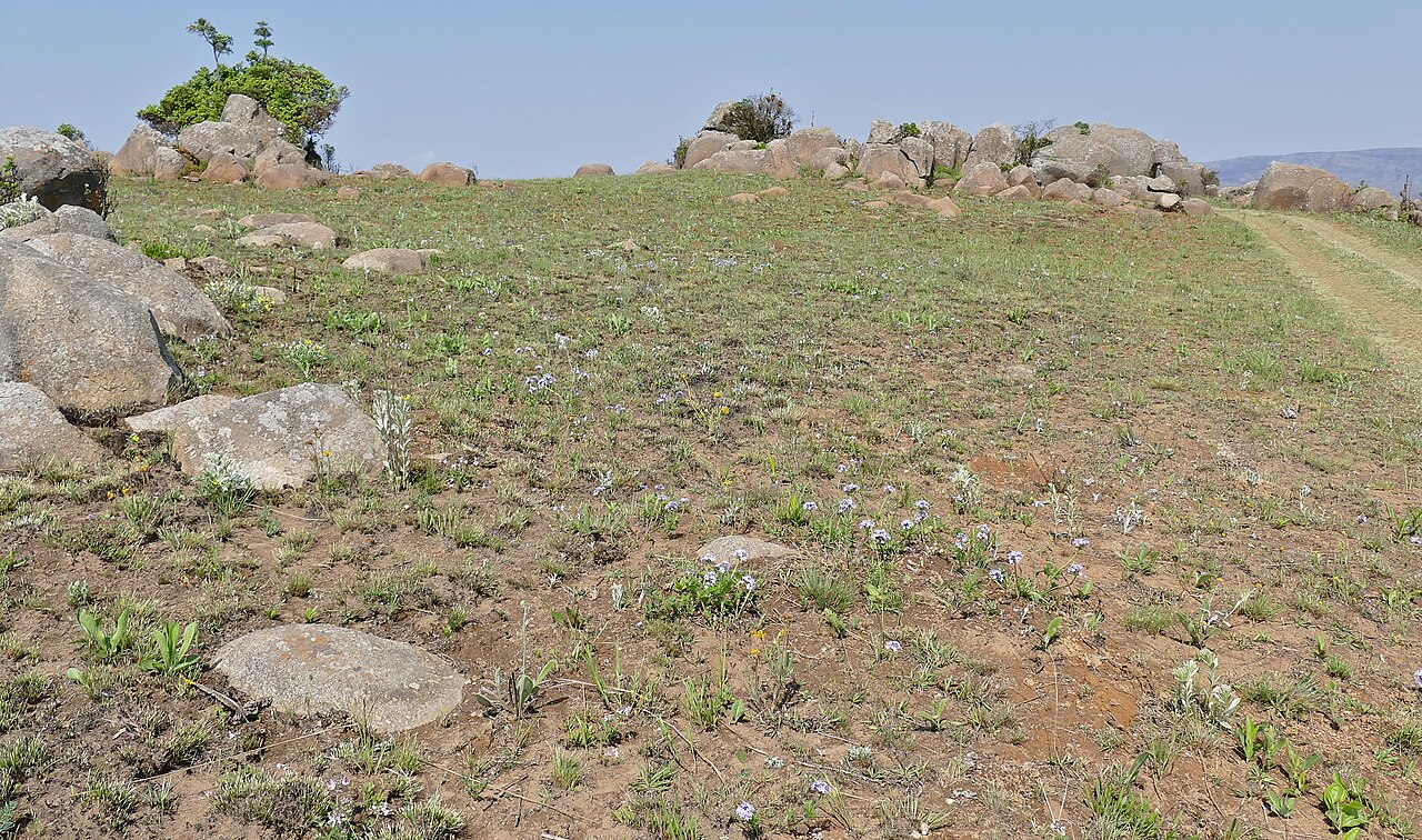 Mountain grasslandThemeda and other grasses
Highland grassland habitat
Distinctive flowering herbs
Seasonal wet grassland flowering plants
Stream banks and marsh edges
Sheltered damp valleys
Seasonal flowering spikes
What are the best things to do in Malolotja?
Guided or permitted hiking
Explore safe, marked trails, highland scenery and rolling ridges with appropriate local access guidance.
Malolotja Falls viewpoints
Ask ENTC which viewpoints and approaches are open and safe before leaving the main area.
Grassland birdwatching
Scan rocky ledges for southern bald ibis and open slopes for highveld specialists.
Wildflower photography
Keep to designated routes and avoid trampling sensitive plant communities.
Canopy tour
An activity historically offered in the area; check directly whether it is operating on your dates.
Landscape photography
Capture morning mist, valley panoramas and seasonal changes in light.
More Eswatini protected areas: Mlilwane Wildlife Sanctuary, Mkhaya Game Reserve, and Hlane Royal National Park.
Hiking safety and reserve rules
Check in with ENTC before hiking and respect route closures and access limits. Mountain weather changes quickly; avoid cliff edges and swollen river crossings. Carry sufficient water, sun protection, rain layers, offline orientation, a charged phone and emergency details. Tell somebody your intended route and return time. Do not rely on approximate online marker positions for wilderness navigation.
Malolotja Nature Reserve FAQs
Can I hike at Malolotja without a guide?
Some marked trails have supported self-guided hiking in the past, but confirm current access, permits and security advice directly with Eswatini National Trust Commission before setting off.
What is the best season for Malolotja?
The cooler, drier months from May to September are generally best for walking; weather at altitude changes quickly.
Where is Malolotja?
It is in the northwestern Eswatini highlands, near the Piggs Peak–Mbabane road corridor.
Can I see Malolotja Falls?
The waterfall is a major scenic feature, but viewpoints and trail access should be checked with reserve staff before travel.
Can I camp in the reserve?
Malolotja has historically offered camping and rustic facilities. Confirm present availability and booking conditions with the official reserve authority.
What does it cost to enter?
Use current Eswatini National Trust Commission rates; do not assume Big Game Parks tariffs apply, as this reserve has a different operator.
Is the canopy tour operating?
Availability and current operating conditions should be verified directly with the canopy-tour operator before planning your day.
Primary sources, photography and methodology
Eswatini National Trust Commission • Eswatini Tourism • OpenStreetMap licensing • Wikimedia Commons image credits. Individual photo rights and author credits are retained on imported WordPress media items.